19
GEOGRAPHY
Zambia is a landlocked country, which takes its name
from the Zambezi River—cutting through the country
in the northwest and making up the southern border.
Its neighbors are as follows: the Democratic Republic
of the Congo (DRC) to the north and northwest, Tanza-
nia to the northeast, Malawi to the east, Mozambique
to the southeast, Zimbabwe to the south, Botswana
and Namibia to the southwest, and Angola to the west.
Zambia’s 752,000 square kilometers makes it approxi-
mately the size of France, the Netherlands, Belgium,
and Switzerland combined. For the most part, the land
consists of a high plateau, with an average height of
between 1,060 and 1,363 meters above sea level. Iso-
lated mountain ridges referred to as the Nyika Plateau
rise to more than 1,829 meters with several peaks ris-
ing above 2,133 meters on the eastern border. Over
most of the country, the surface tends to be flat—only
broken by small hills, which come from years of ero-
sion of the underlying crystalline rocks. These rocks
contain the bulk of the country’s mineral wealth found
in and around the 145 km long corridor known as the
Copperbelt.
Zambia's sea level notably decreases when moving
southward from the DRC/Zambezi divide in the north
towards the Zambezi River depression in the South.
The huge valleys of the Upper Zambezi and its ma-
jor tributaries form the most significant breaks in the
plateau. One result of the plateau formation of Africa
is the swift discharge of water towards the coast and
the interruption of rivers by waterfalls and rapids. The
waterfalls and rapids, which make such rivers and
streams of little value for transport, are extremely suit-
able for hydroelectric schemes and adventure activi-
ties such as white water rafting adventures.
With the exception of the Northern and Luapula Prov-
inces, which are part of the DRC basin, Zambia lies in
the watershed between the DRC and Zambezi River
systems. The three great natural lakes of the country,
Bangweulu, Mweru, and Lake Tanganyika are all lo-
cated in the north and are part of the headwaters of
the Congo Zaire River. Lake Tanganyika is the second
deepest natural lake in the world and supports lively
fishing and tourism industries.
Lake Bangweulu and its swampland drain into the
Luapula River, and it covers a total of about 3,800
square miles.
Lake Kariba, found in the south, is the largest man-
made lake in Africa and the second largest in the
world. It is about 280 kms long and 40 kms across at
its widest point.
The Kafue River is the country's second largest river
after the Zambezi and flows from the Copperbelt,
forming the boundary of the country's Southern Prov-
ince. It drains into the Zambezi, emptying into the In-
dian Ocean.
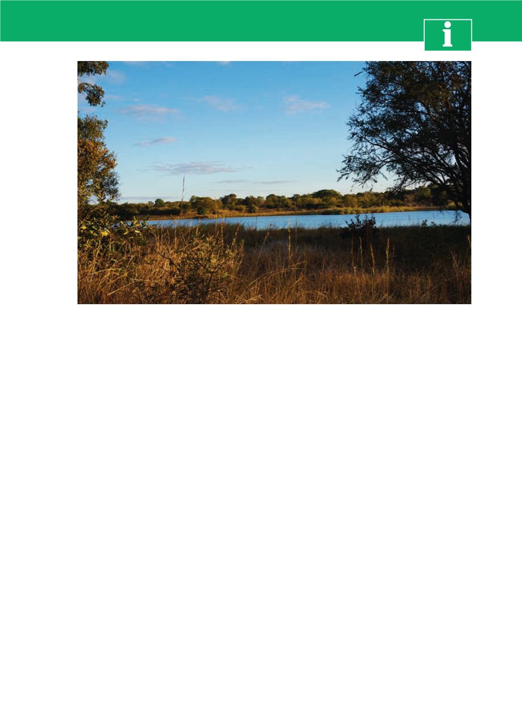
General Information
Credit: Luis López
In Livingstone, the sun sets over Zimbabwe, across the Zambezi River


